Katimavik-Hazeldean
South of the Queensway, between Eagleson Road and the Carp River.
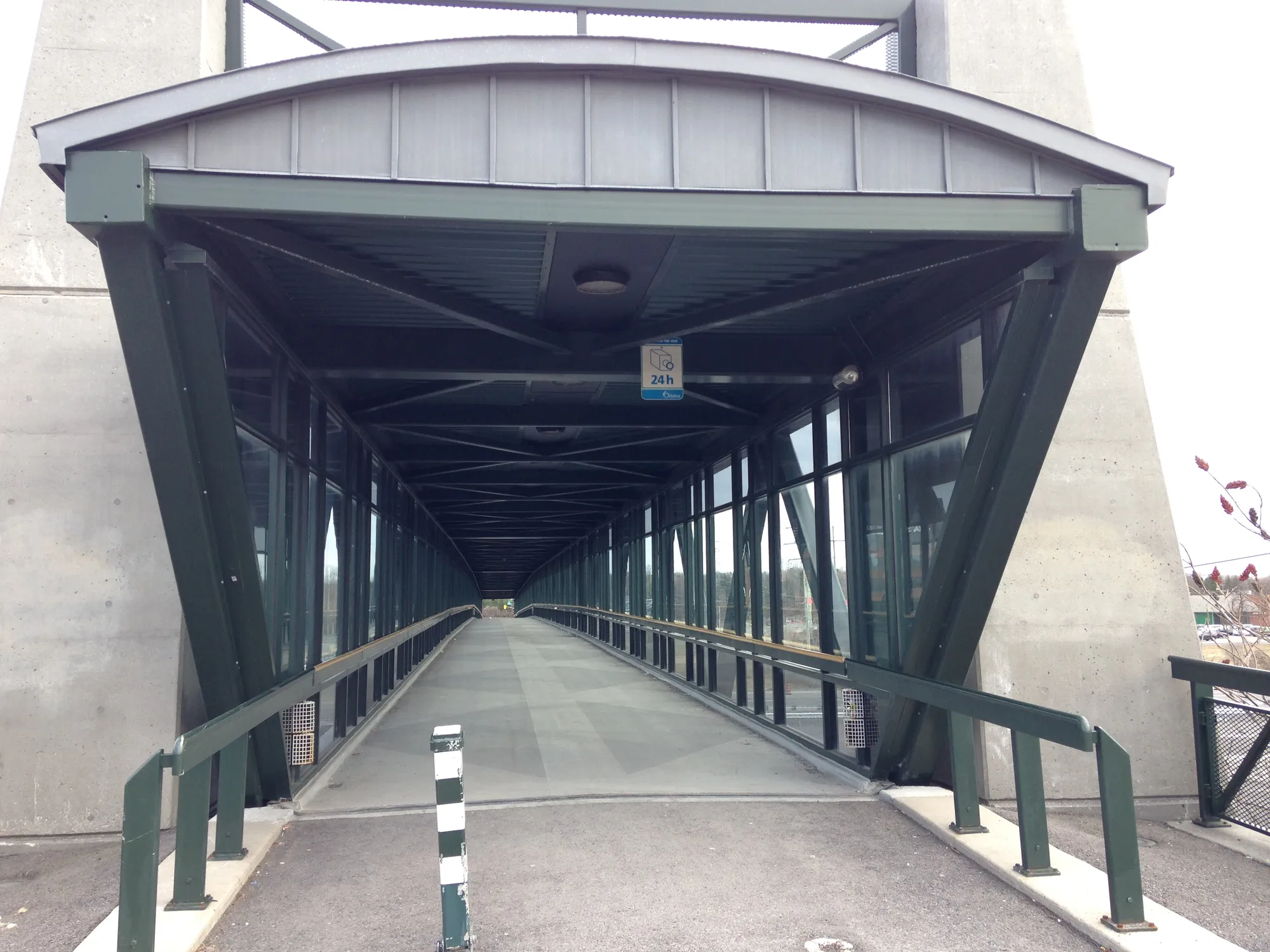
Katimavik-Hazeldean occupies the area south of Highway 417 and north of Hazeldean Road under the community association’s definition.
Updated · Facts on this page link to their sources
About Katimavik-Hazeldean
Katimavik-Hazeldean occupies the area south of Highway 417 and north of Hazeldean Road under the community association’s definition. Schools and recreation facilities sit among residential streets, with commercial services on the surrounding roads.
Boundaries
Approximate boundary following KHCA’s constitution: Highway 417, Eagleson Road, Hazeldean Road and the Carp River. This association area is wider than descriptions that use Katimavik Road or Terry Fox Drive as an edge. khca.on.ca ons-sqo.ca
Homes
The Chimo Drive neighbourhood developed in the 1970s. Compare individual properties and their street setting rather than assuming one construction period for the whole association area. khca.on.ca ons-sqo.ca
- South of the Queensway, between Eagleson Road and the Carp River.
- Approximate boundary following KHCA’s constitution: Highway 417, Eagleson Road, Hazeldean Road and the Carp River. This association area is wider than descriptions that use Katimavik Road or Terry Fox Drive as an edge.
Community
How Katimavik-Hazeldean came to be
- 1970s
Campeau developed the Chimo Drive area in the early to mid-1970s, drawing on the garden-city approach used in Beaverbrook. khca.on.ca
Around Katimavik-Hazeldean
Walking rings at 5, 10 and 15 minutes from the neighbourhood centre.
Schools
3 nearbyKatimavik Elementary School
OCDSBGrades 4–864 Chimo Drive, Kanata, ONopenstreetmap.org mapcarta.com katimavikes.ocdsb.ca
440 m6 min walkHoly Trinity Catholic High School
OCSBGrades 7–12180 Katimavik Road, Kanata, ONopenstreetmap.org mapcarta.com trh.ocsb.ca
500 m6 min walkÉcole élémentaire catholique Roger-Saint-Denis
CECCEGrades Maternelle–6e186 croissant Barrow, Kanata, ONopenstreetmap.org mapcarta.com roger-saint-denis.ecolecatholique.ca
1.1 km14 min walk
Straight-line distances from the Katimavik-Hazeldean centre. Living near a school does not guarantee a place: confirm the designated school for an address with each board. All schools and board locators.
Parks & places
2 nearbyKanata Leisure Centre and Wave Pool
Municipal recreation facility and wave pool on Aird Place.
70 Aird Placeopenstreetmap.org mapcarta.com en.wikipedia.org
500 m6 min walkWalter Baker Park
A City of Ottawa park beside Kanata Recreation Complex. This is distinct from Walter Baker Sports Centre in Barrhaven.
openstreetmap.org mapcarta.com documents.ottawa.ca
1.6 km20 min walk
Shops & dining
3 nearbyKanata Town Centre
Office and retail complex on Katimavik Road; distinct from Kanata Centrum.
150 Katimavik Roadopenstreetmap.org mapcarta.com en.wikipedia.org
530 m7 min walkKanata Centrum
Retail and entertainment area near Terry Fox Station.
Kanata Avenue / Earl Grey Driveopenstreetmap.org mapcarta.com en.wikipedia.org
1.3 km16 min walkHazeldean Mall
Shopping centre at Eagleson and Hazeldean roads. Consult its directory for current tenants.
300 Eagleson Roadopenstreetmap.org mapcarta.com hazeldeanmall.com
1.5 km18 min walk
Getting around
TransitTerry Fox Station
OC Transpo bus station beside Kanata Centrum; not an O-Train station.
openen.wikipedia.org octranspo.com
930 m12 min walkEagleson Station and Park & Ride
OC Transpo bus station and park-and-ride facility. The map point represents platform 2A, not a parking entrance.
openmapcarta.com openstreetmap.org en.wikipedia.org
1.5 km18 min walkBus connections
Use OC Transpo’s planner for the exact address and travel date. Terry Fox and Eagleson are bus stations; the west rail extension is separate from a future extension into Kanata.
For sale in Katimavik-Hazeldean
No Katimavik-Hazeldean homes on kanata.homes right now
Selling here? Get a website for your home, or browse every home for sale in the area.
Neighbouring areas
Quick answers
Short answers first; each links to the full answer and its sources.
What is Katimavik-Hazeldean like?
Katimavik-Hazeldean occupies the area south of Highway 417 and north of Hazeldean Road under the community association’s definition. Schools and recreation facilities sit among residential streets, with commercial services on the surrounding roads.
As of 2026-10-30 · khca.on.ca ons-sqo.ca